750 people live in Kenwood, where the median age is 49.8 and the average individual income is $70,907. Data provided by the U.S. Census Bureau.
Total Population
Median Age
Population Density Population Density This is the number of people per square mile in a neighborhood.
Average individual Income
Kenwood began as a plan on paper. In 1887, a town plan centered on a park and a plaza was laid out for the Sonoma Land & Improvement Company in anticipation of the railroad, according to Permit Sonoma.
Developers tried the names Rohnerville, Los Guilicos, and South Los Guilicos before settling on Kenwood. Kenwood is home to Sugarloaf Ridge State Park, the Robert Ferguson Observatory, and wineries along Highway 12.
The park is at 2605 Adobe Canyon Road in Kenwood. The summit of Bald Mountain is 2,729 feet, and the park lists about 25 miles of trails for hiking and horseback riding.
The Robert Ferguson Observatory is in the park. According to California State Parks, the Valley of the Moon Observatory Association provides year-round astronomy education, and public viewing is offered on select weekends. The park's website says it houses a 40-inch telescope. See The Summer Kenwood Reorganized Around Its Evenings for the dark-sky programming.
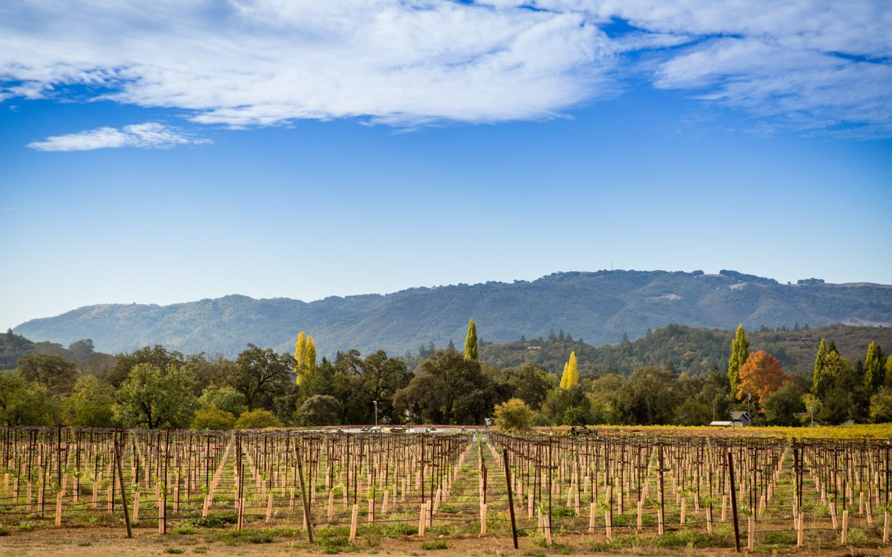
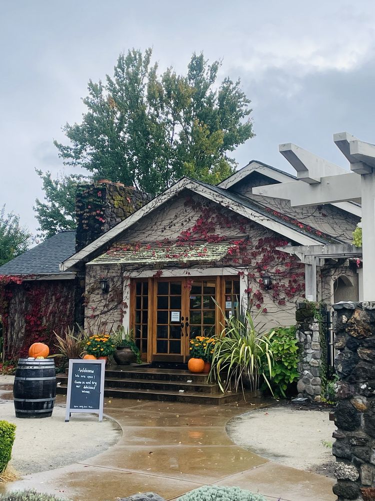
Kunde Family Winery (9825 Sonoma Highway 12) describes five generations farming a 1,850-acre estate. Landmark Vineyards (101 Adobe Canyon Road) says it was founded in 1974 and moved to Kenwood in 1989. For appointment-only winery experiences in Sonoma, see luxury winery experiences in Sonoma.
The Moon Mountain District Sonoma County AVA took effect on November 1, 2013, and lies entirely within the larger Sonoma Valley AVA, according to the Federal Register.
Hood Mountain Regional Park and Open Space Preserve, at 1450 Pythian Road in Santa Rosa, has more than 19 miles of trails, the most extensive trail system in the Sonoma County Regional Parks system, according to the county. Trailheads are at Pythian Road and Los Alamos Road.
Kenwood School District is a single-school district serving grades TK-6, with about one class per grade, according to the school's website. About 49% of its students live outside the district boundaries.
01
The state bought the Sugarloaf land in 1920 to dam Sonoma Creek for Sonoma State Hospital. Neighbors objected, and it became part of the State Park System in 1964. A 2009 state brochure says the Wappo village of Wilikos stood on upper Sonoma Creek.
02
Sugarloaf Ridge closed in December 2011 for the first time in its 48-year history because of state budget problems, according to the park's operator. Since 2012 the park has been operated by Team Sugarloaf, a partnership led by Sonoma Ecology Center, and the state keeps ownership.
03
Hood Mountain's northernmost boundary touches Sugarloaf Ridge State Park. Together with neighboring preserves, they form more than 11,000 acres of protected public land along the Napa County line, according to a July 2024 county release.
04
The Kenwood Depot on Warm Springs Road was built in 1887. The Kenwood Community Club, a nonprofit, manages and preserves it, and the depot hosts community meetings and events.
Our local coverage looks at what sits behind the numbers on Kenwood listings.
What Kenwood's Median Doesn't Tell You covers Kenwood's private-well rules, FAIR Plan premiums, and days on market for Kenwood homes.
The Earliest Harvest in 40 Years explains why income figures on a Kenwood vineyard estate listing are harder to trust this year.
Soho House Coming to Sonoma Valley looks at what Soho Ranch House Sonoma means for Kenwood.
A few rules that vary by parcel are worth checking before you make an offer on a Kenwood property.
The Kenwood Fire Protection District merged into the Sonoma Valley Fire District on July 1, 2025. The Sonoma Valley Fire District serves Kenwood and Glen Ellen, among other Sonoma Valley communities, and operates eight stations, five career-staffed and three volunteer-staffed. In a State Responsibility Area, Zone 1 defensible space runs from structures to 30 feet or the property line, whichever comes first, and Zone 2 runs from 30 feet to 100 feet or the property line.
Kenwood Village Water Company is one of the private water companies in the Sonoma Valley area, according to a Sonoma County grand jury report. Water sources vary by parcel, so confirm whether a property is on a water company, a well, or another source. Wastewater arrangements also vary, so ask about septic or sewer connection for any specific address.
In Sonoma County, a vacation rental needs both a Vacation Rental Permit, which is a zoning permit, and a Vacation Rental License, plus a certified property manager. Vacation rentals are not allowed on Williamson Act lands or in R1, R2, or R3 zones, and concentration limits apply in cap zones. The county has a Vacation Rental Map Viewer.
The Williamson Act is a voluntary Land Conservation Contract that limits land to farming, open space, or compatible uses in exchange for a reduced tax assessment. It runs with the land, with ten-year terms that renew automatically. Our guide to selling a Williamson Act vineyard estate covers how it affects a sale.
Before you buy, read the right questions to ask before buying a home in Sonoma and building a house in California.
Jack London State Historic Park is at 2400 London Ranch Road and has more than 10 miles of fire roads and trails.
In 1857 Harmon Heald hired a surveyor to lay out a central plaza with streets and 85 lots.
Oxbow Public Market is at 610 and 644 First Street, a 40,000-square-foot marketplace with an outdoor deck.
Sugarloaf Ridge State Park is at 2605 Adobe Canyon Road in Kenwood. The summit of Bald Mountain is 2,729 feet, and the park lists about 25 miles of trails for hiking and horseback riding. The Robert Ferguson Observatory is in the park. According to California State Parks, the Valley of the Moon Observatory Association provides year-round astronomy education, and public viewing is offered on select weekends.
The state owns the park. Since 2012 it has been operated by Team Sugarloaf, a partnership led by Sonoma Ecology Center, after the park closed in December 2011 because of state budget problems, according to the park's operator.
The Sonoma Valley Fire District serves Kenwood. The Kenwood Fire Protection District merged into the Sonoma Valley Fire District on July 1, 2025.
The Moon Mountain District Sonoma County AVA took effect on November 1, 2013, and lies entirely within the larger Sonoma Valley AVA, according to the Federal Register.
It depends on the parcel. Sonoma County requires a Vacation Rental Permit and a Vacation Rental License, plus a certified property manager. Vacation rentals are not allowed on Williamson Act lands or in R1, R2, or R3 zones, and concentration limits apply in cap zones. Check the parcel with Permit Sonoma.
Kenwood School District is a single-school district serving grades TK-6, with about one class per grade, according to the school's website. About 49% of its students live outside the district boundaries, so confirm enrollment details with the district.
Whether you are looking at a Highway 12 estate or a home near Sugarloaf, we can help you review what applies to a specific parcel.
Call 415.290.3123
There's plenty to do around Kenwood, including shopping, dining, nightlife, parks, and more. Data provided by Walk Score and Yelp.
Explore popular things to do in the area, including Cale Cellars-the Wine Room, B Wise Vineyards, and Muscardini Cellars.
| Name | Category | Distance | Reviews |
Ratings by
Yelp
|
|---|---|---|---|---|
| Dining | 0.41 miles | 0 reviews | 0/5 stars | |
| Dining · $$$ | 0.5 miles | 90 reviews | 4.6/5 stars | |
| Dining · $$ | 0.51 miles | 155 reviews | 4.6/5 stars | |
| Dining · $$ | 0.64 miles | 67 reviews | 4.7/5 stars | |
| Dining | 0.65 miles | 0 reviews | 0/5 stars | |
| Dining · $$ | 0.74 miles | 32 reviews | 3/5 stars | |
| Dining | 0.76 miles | 15 reviews | 5/5 stars | |
| Dining | 0.81 miles | 19 reviews | 4.9/5 stars | |
| Dining · $$ | 1.06 miles | 91 reviews | 4.5/5 stars | |
| Dining · $$ | 1.22 miles | 173 reviews | 4.3/5 stars | |
| Shopping | 0.54 miles | 0 reviews | 0/5 stars | |
| Shopping | 0.75 miles | 0 reviews | 0/5 stars | |
| Active | 0.52 miles | 2 reviews | 4.5/5 stars | |
| Active | 1.08 miles | 0 reviews | 0/5 stars | |
|
|
||||
|
|
||||
|
|
||||
|
|
||||
|
|
||||
|
|
Kenwood has 379 households, with an average household size of 1.93. Data provided by the U.S. Census Bureau. Here’s what the people living in Kenwood do for work — and how long it takes them to get there. Data provided by the U.S. Census Bureau. 750 people call Kenwood home. The population density is 145 and the largest age group is Data provided by the U.S. Census Bureau.
Total Population
Population Density Population Density This is the number of people per square mile in a neighborhood.
Median Age
Men vs Women
Population by Age Group
0-9 Years
10-17 Years
18-24 Years
25-64 Years
65-74 Years
75+ Years
Education Level
Total Households
Average Household Size
Average individual Income
Households with Children
With Children:
Without Children:
Marital Status
Blue vs White Collar Workers
Blue Collar:
White Collar: